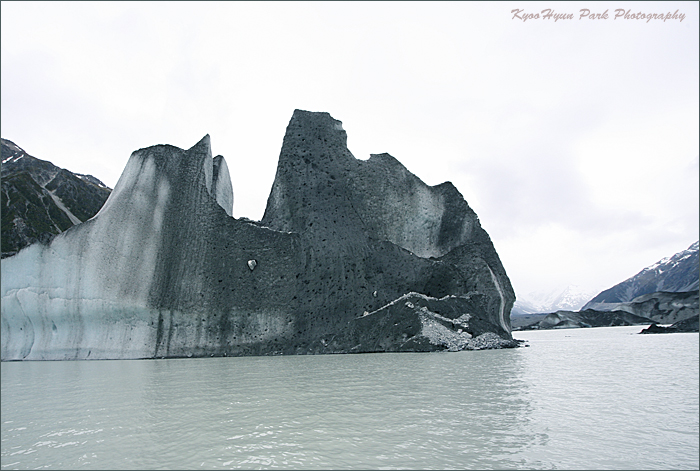
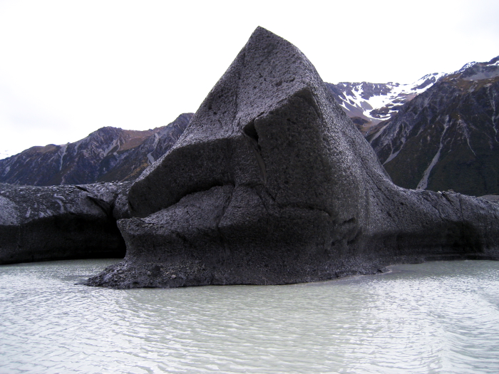
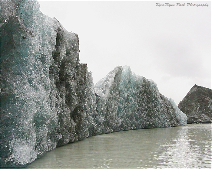
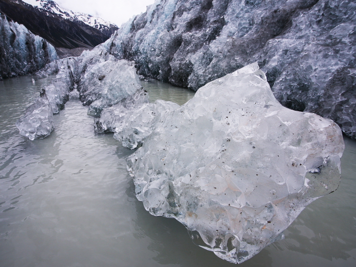
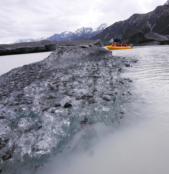
The Lake Tasman, South Island New Zealand
마운틴 쿡에서 흘러내려온 빙하가 타스만 호수 Lake Tasman를 이루고
이것이 타스만 강으로 흘러 푸카키 호수 Lake Pukaki를 이루고
와이타키 강을 이루었다가 태평양으로 흘러든다고.
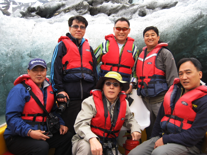
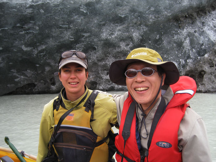
윗사진은 타스만 호수에서 보트를 타고
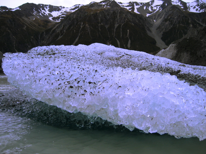
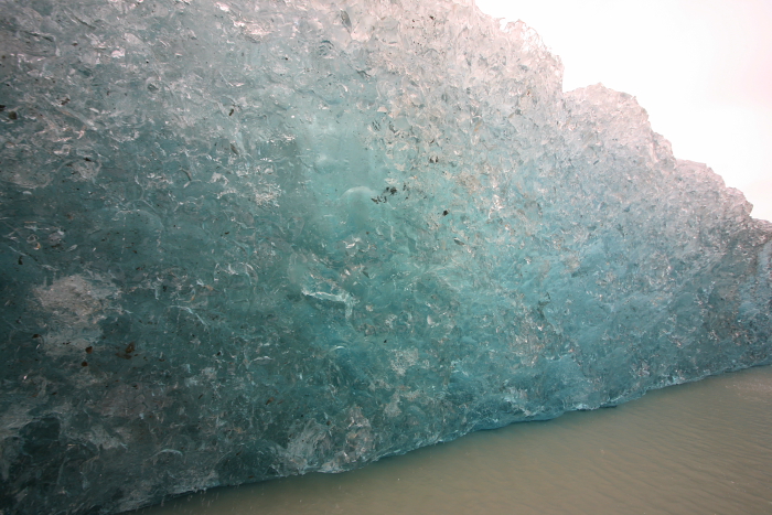
타스만 호수에 떠있는 빙산을 관광하는 모습
The Tasman Glacier is the largest of several glaciers which flow south and east towards the Mackenzie Basin from the Southern Alps in New Zealand's South Island. It is 29 kilometres long and as much as 4 kilometres wide, and is entirely within the borders of Aoraki/Mount Cook National Park. The depth at its most is 600 meters.
The waters from both these glaciers pool at the end of the glacier in Lake Tasman, before flowing south to join the outflow from the nearby Hooker and Mueller Glaciers in the wide valley of the Tasman River, whose braided streams flow south into Lake Pukaki. They eventually flow into the Waitaki River and to the Pacific Ocean north of Oamaru.
'[Image Gallery] > Abroad' 카테고리의 다른 글
| Christ Church Cathedral, New Zealand (0) | 2007.12.22 |
|---|---|
| Children, New Zealand (0) | 2007.12.19 |
| a Girl, Australia 2007 (0) | 2007.12.17 |
| the Sky Blue, New Zealand (0) | 2007.12.17 |
| Queenstown, New Zealand (0) | 2007.12.17 |